Home · Getting Around
Once you are here
Seven ways to move
On footOn foot
More than half of all trips in central Paris are made on foot. The center is compact, and the river keeps you oriented.
On railsThe Métro
Sixteen lines numbered 1 to 14, with two short branches, 3bis and 7bis, and 321 stations. Follow a line by its number and the name of its last stop.
On railsThe RER
The regional express trains, lettered A to E, cross the center in deep tunnels with few stops, and run out to the airports and Versailles.
On the roadBuses
Fifty-eight lines within the city, many in their own lanes behind low curbs. Slower than the Métro, but you see the streets.
On two wheelsVélib'
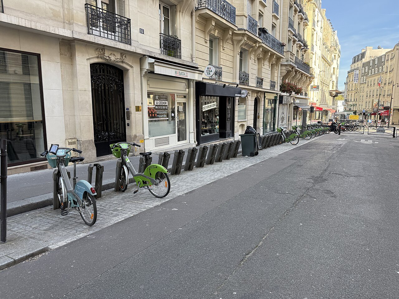
The shared bicycles: more than sixteen thousand bikes at around fourteen hundred stations, with a growing network of bike lanes.
On the waterThe Batobus
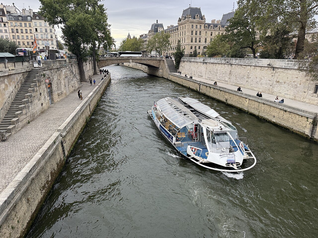
A river shuttle with nine stops, from the Eiffel Tower to the Jardin des Plantes, past Notre-Dame and the Louvre.
On railsThe trams
Mostly suburban, but the T3a and T3b run in a ring around the edge of the city, just inside the ring road.
In full
Getting Around
A city to walk
Paris is small for a capital, about 41 square miles, and most of what visitors come to see lies within a few miles of the Île de la Cité. In the center, more than half of all trips are made on foot, and walking is the best way to see the city: the view down a boulevard, the shop fronts, the courtyards glimpsed through a gate. The river runs east to west through the middle, and if you know which bank you are on you are rarely lost for long.
The city has worked for years to make walking and cycling easier, narrowing the space given to cars, adding bus and bike lanes and closing some streets and riverside roads to traffic. Private cars now account for only a small share of trips in the center, and there is little reason for a visitor to drive.
The Métro
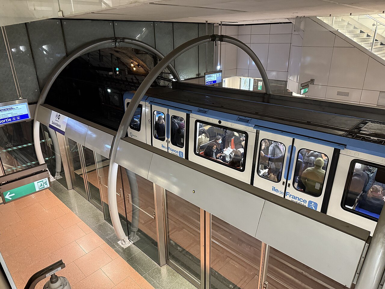
The Métro opened on 19 July 1900, during the Universal Exposition, with a line from the Porte Maillot to the Porte de Vincennes. It has grown to sixteen lines, numbered 1 to 14 with two short branches, 3bis and 7bis, and 321 stations, most of them underground, so densely packed inside the city that you are seldom far from one. Lines 1, 4 and 14 run without drivers.
Every line is known by its number and a color, and each direction by the name of the station at the end of the line. To find your train, look for the line's number and then the name of the last stop in the direction you want. Where lines meet, signs in the corridors lead you to the connection; at the big interchanges such as Châtelet, the walk between platforms can be long.
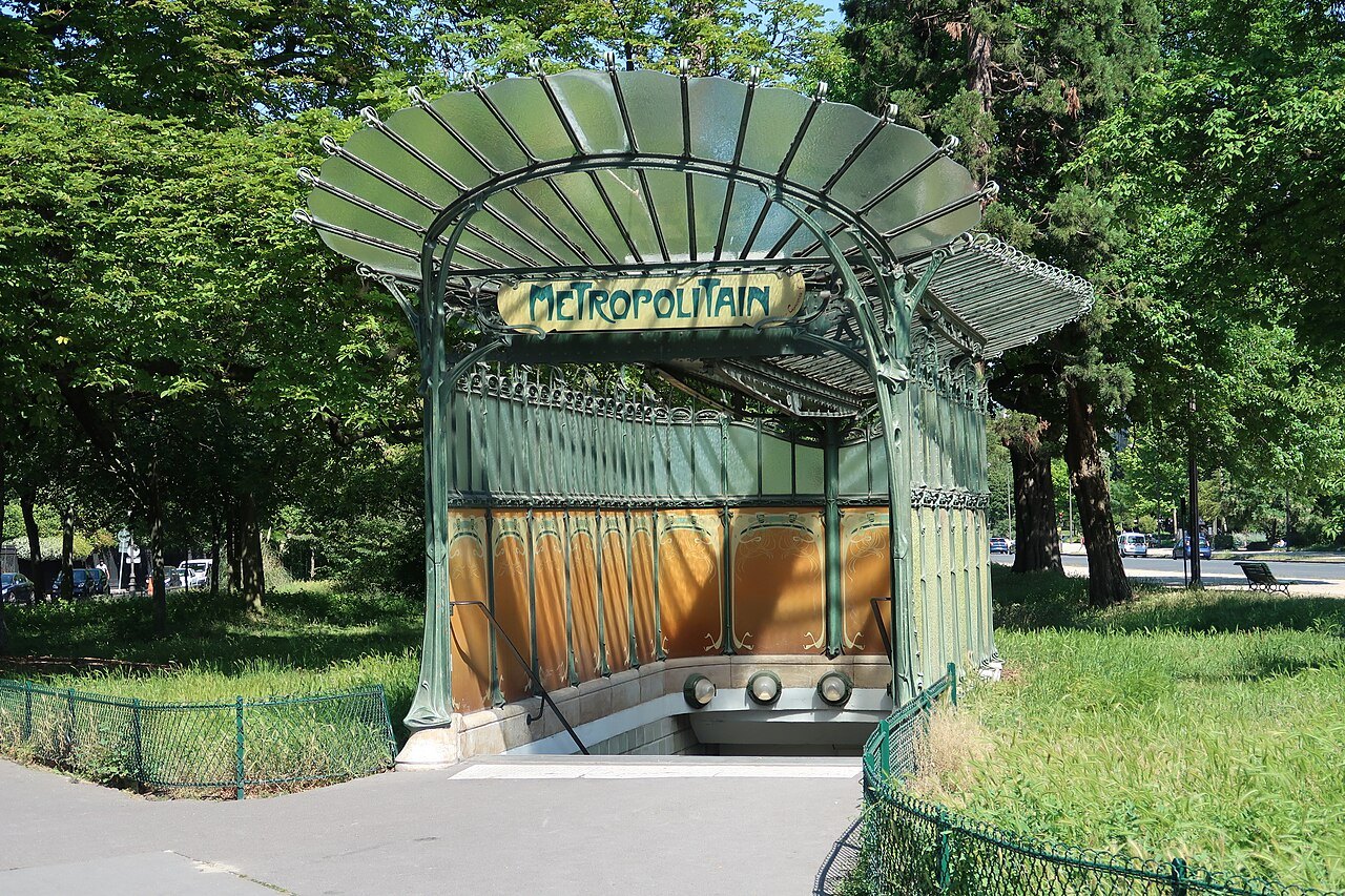
Look up as you go in: the entrances in the Art Nouveau style, with their curling green ironwork, were designed by Hector Guimard at the time the Métro opened, and many survive.
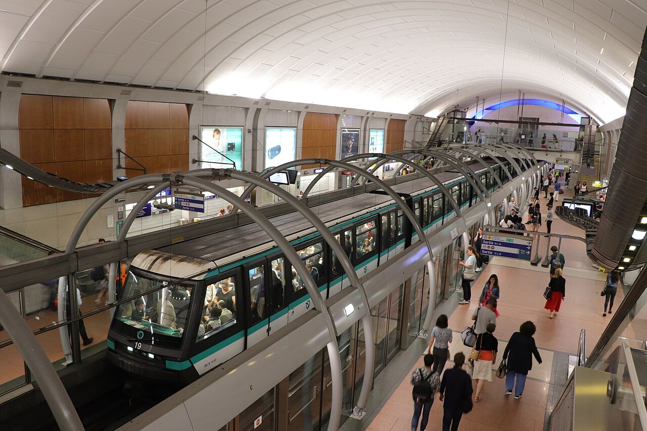
The stations have a look of their own: the standard vaulted station is lined in small white tiles, chosen when electric light was weak, with the station's name in white on blue. The newest line, Line 14, opened in 1998 as the first line built from scratch since the 1930s and the first to run without drivers; it crosses the center on a long diagonal from the Gare Saint-Lazare through Châtelet to the Gare de Lyon, and on to Orly Airport.
The RER
The RER is the regional express network, opened in 1977: five lines lettered A to E that run across the center in deep tunnels and out into the suburbs. Inside the city, the RER stops far less often than the Métro, so it is the quick way across town between the big stations, such as Châtelet–Les Halles, the Gare de Lyon and the Gare du Nord. Beyond the city it is the train to take for Charles de Gaulle Airport and for Versailles.
The RER lines split into branches outside the center, so check the name of the train's destination on the platform displays before you board. See getting here for the airport links and day trips for the trains out of the city.
Line C, opened in 1979, runs along the Left Bank beside the river, under the Musée d'Orsay and past the Invalides, and it is the RER line most used by visitors: one of its branches ends at the station for the palace of Versailles.
Tickets and cards
The Métro, the RER, the buses and the trams are run as one network by the regional transport authority. Tickets and passes are loaded onto a contactless card, the Navigo, or onto a phone, and you validate them at the turnstiles or on the bus. Cards and tickets can be bought at station ticket windows and machines, or through the transport authority's app.
Fares and the choice of passes change, so check the current options before you travel; the right choice depends on how many days you stay and whether you will travel to the airports or out to Versailles. Keep your ticket or card until you leave the station, since inspectors check on the trains and at the exits.
Buses and trams
Fifty-eight bus lines run within the city, and since the early 2000s many of the main streets have had lanes reserved for buses and taxis, now often separated from the rest of the traffic by low concrete curbs. Buses are slower than the Métro, but they are a good way to see the city, and they are easier for travelers who find stairs difficult.
The modern trams mostly serve the suburbs, but two lines, the T3a and the T3b, run around the southern, eastern and northern edges of the city, just inside the ring road, linking many Métro lines. At night, after the Métro stops running, the Noctilien night buses take over.
Bicycles and the river
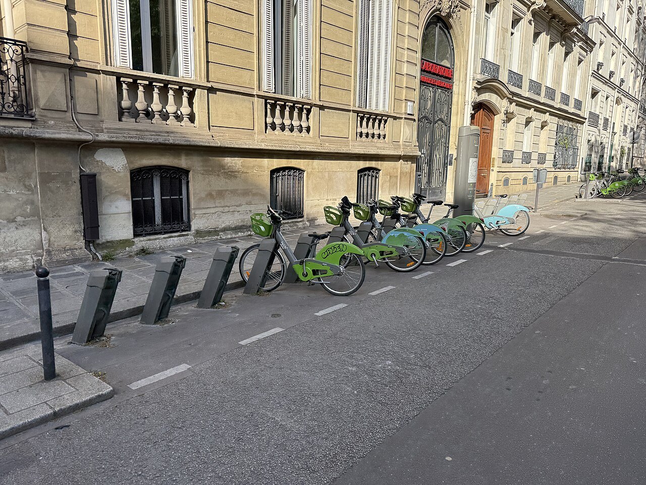
Vélib', the shared bicycle system, launched in 2007 and now has more than sixteen thousand bikes at about fourteen hundred stations in Paris and the towns around it, some of them electric. Its name joins the French words for bicycle and freedom. The city has built many miles of bike lanes in recent years, and cycling has grown fast; on a quiet Sunday, a ride along the river is one of the pleasures of Paris.
On the Seine, the Batobus is a shuttle boat with nine stops: Beaugrenelle, the Eiffel Tower, the Musée d'Orsay, Saint-Germain-des-Prés, Notre-Dame, the Jardin des Plantes, the Hôtel de Ville, the Louvre and the Champs-Élysées. It is slower than the Métro, but it moves between the great sights by water. See the Seine for sightseeing cruises.
Taxis and cars
Taxis wait at ranks outside the stations and at the airports, and they can use the bus lanes. Driving yourself is rarely worth it: the traffic is heavy at the city's gates, parking is scarce and the city is steadily reducing the space for cars. A car makes sense only for a trip out of the city, and even then the train is usually easier.
Seen on the way
More photographs
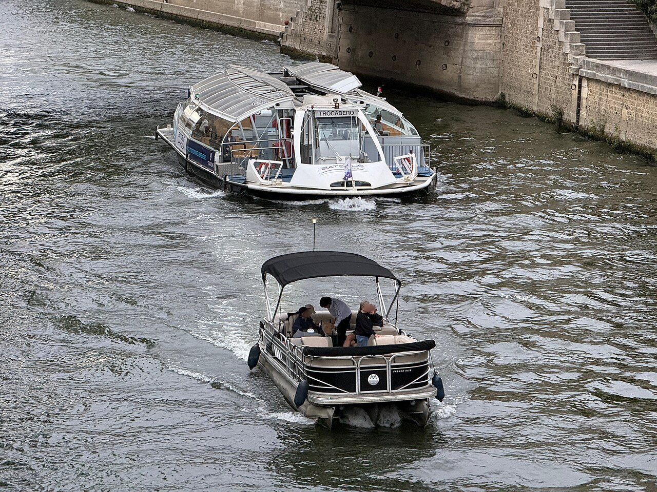
A Batobus and a small motorboat on the Seine below the Île de la CitéChabe01, Wikimedia Commons, CC BY-SA 4.0 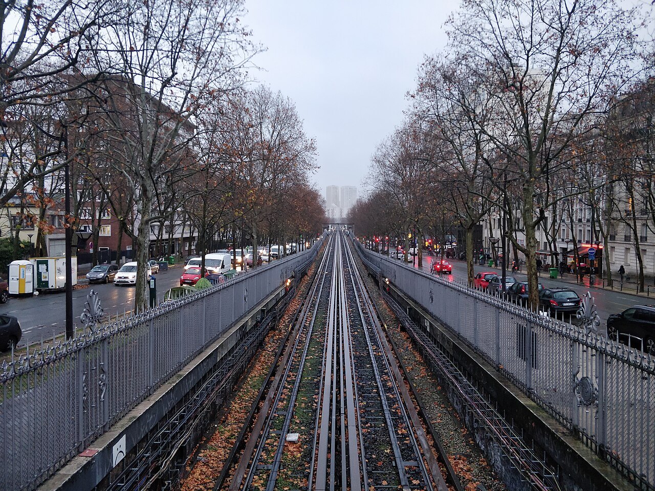
Métro Line 6 running above the middle of the Boulevard Saint-JacquesLike tears in rain, Wikimedia Commons, CC BY-SA 4.0 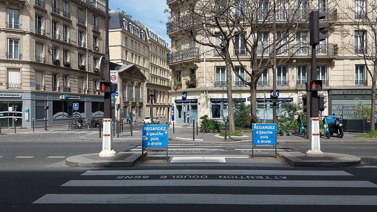
A pedestrian crossing on the Boulevard Saint-Marcel in the 13th arrondissementRomainbehar, Wikimedia Commons, CC0