A JOKE ABOUT THE THIRTEENTH, A MAYOR AND A SNAIL
Why are the arrondissements of Paris numbered in a spiral?
Because in 1859 the wealthy residents of Passy refused to live in a new 13th arrondissement, and their mayor suggested a spiral instead. The story of the numbers, from the Revolution's twelve districts to the twenty of today, and how to use them.
The answer in full
Read on
The short answer
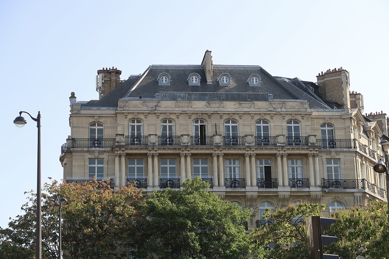
The twenty arrondissements of Paris wind outward from the center in a clockwise spiral, often likened to a snail shell: the 1st beside the Louvre, the 2nd, 3rd and 4th around it, then across the river to the 5th, 6th and 7th, and back across and around until the 20th, on the city's eastern edge. The reason is a joke, a protest and a mayor with a better idea. When the districts were redrawn in 1859, the first plan would have put the wealthy village of Passy in a new 13th arrondissement, and in Paris the 13th was a punchline.
The first twelve
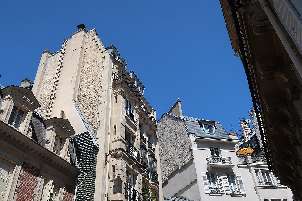
Paris was first divided into arrondissements by a law of 11 October 1795, in the middle of the Revolution. There were twelve of them, numbered from west to east: the first nine on the Right Bank and the last three on the Left. Each was split into four quarters, which came from the forty-eight revolutionary sections created in 1790.
With only twelve arrondissements, there was no 13th, and Parisians made the most of it. Couples who lived together without marrying were said to have been married at the town hall of the 13th arrondissement, a wedding that could not have taken place because the town hall did not exist.
The city grows
In the middle of the nineteenth century, the city's official limit was still the old customs wall of the Farmers-General, built before the Revolution, while a newer ring of fortifications, the Thiers wall, completed by the War Ministry in 1844 with a dry moat and a military road, stood much further out. Between the two lay villages and suburbs, such as Montmartre, Belleville, Passy, Vaugirard and Grenelle, that had grown with the city but were not part of it.
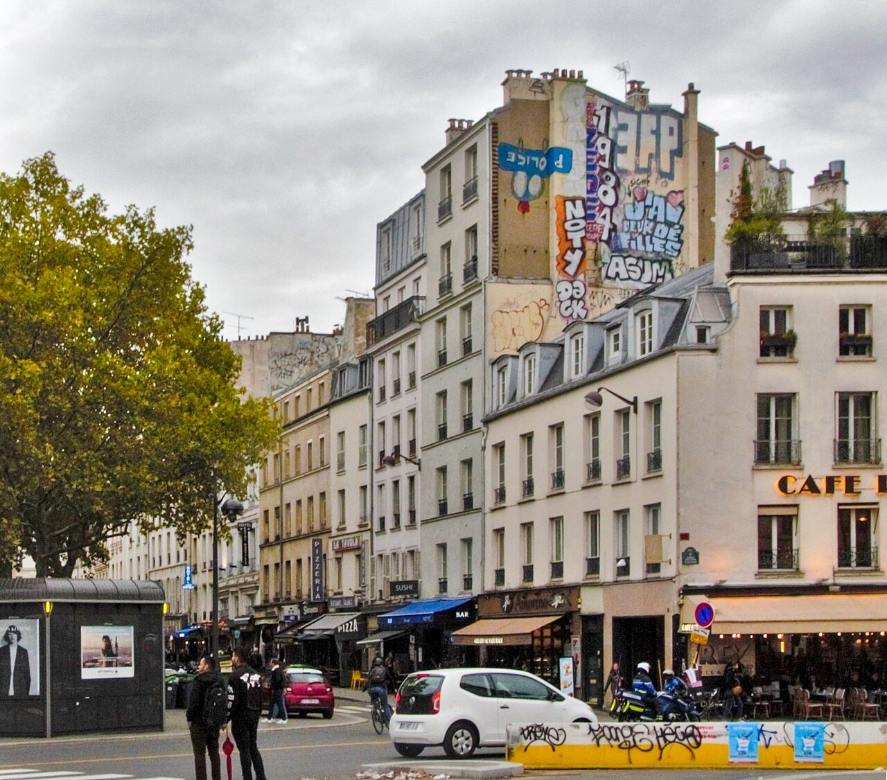
Emperor Napoleon III and his prefect, Baron Haussmann, decided to take them in. A law of 16 June 1859 moved the city's boundary out to the fortifications, and the annexation took effect in 1860. Paris more than doubled in area overnight, and the twelve old arrondissements were swept away and replaced by twenty new ones.
The annexation took in eleven communes whole, Auteuil, Batignolles-Monceau, Montmartre, La Chapelle, Passy, La Villette, Belleville, Charonne, Bercy, Grenelle and Vaugirard, with pieces of others that the fortifications had cut in two. The city grew from about 13 square miles to about 30, and city taxes reached the new districts in July 1860. Many of the old village names survive in the names of the new arrondissements themselves: the 17th is Batignolles-Monceau, the 18th Buttes-Montmartre, the 15th Vaugirard, the 16th Passy.
The plan that would not do
Haussmann's first plan numbered the new districts the way the old ones had been numbered, sweeping across the city from north to south and west to east: the twelve Right Bank arrondissements first, then the eight on the Left Bank. Under that scheme, the western district containing Passy and Auteuil would have become the 13th, and the old Faubourg Saint-Marcel, on the southeastern Left Bank, would have closed the list as the 20th.
The influential residents of Passy did not appreciate being associated with the couples of the imaginary 13th, and they protested. Their mayor, Jean-Frédéric Possoz, listened, and proposed to Haussmann a different arrangement: a spiral starting from the center of the city, where the official buildings stood, and winding outward.
The spiral was adopted, and it has never been changed. It put the Louvre and the imperial palaces of the Tuileries in the 1st, Passy safely in the 16th, and the Gobelins area, around the old tapestry works in the southeast, in the 13th instead.
Reading the numbers today
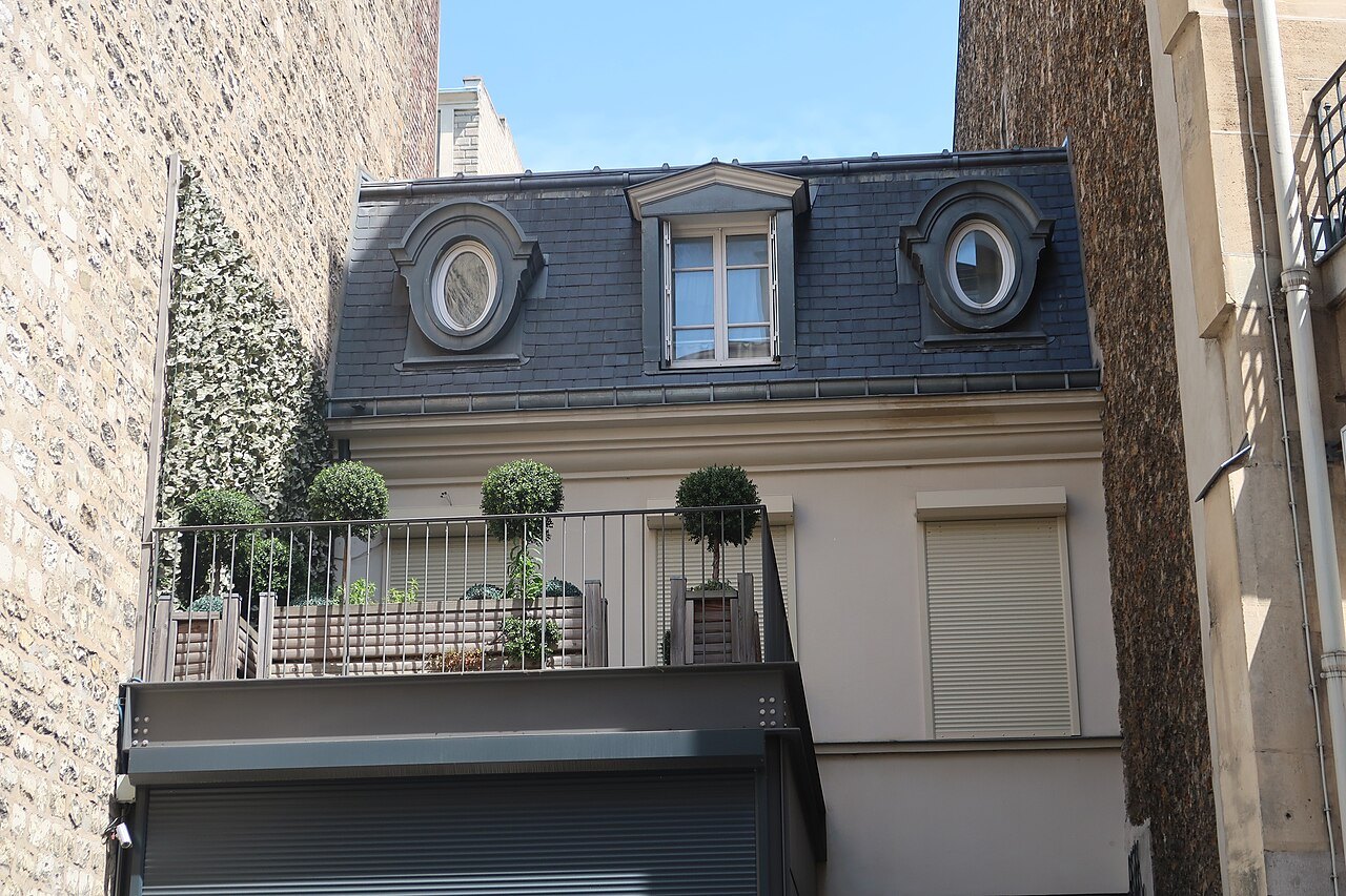
The spiral has lasted more than a century and a half, and it is still the first thing to know about a Paris address. Every address in the city carries a postcode from 75001 to 75020, whose last two digits give the arrondissement. Street signs often show the number in Roman numerals, VIe or XIIIe, and people use the ordinal in conversation: she lives in the sixth, le sixième.
Each arrondissement also has a name, often from a monument within it: the 5th is Panthéon, the 7th Palais-Bourbon after the National Assembly, the 9th Opéra, the 14th Observatoire. And each has its own town hall and mayor, although since 2020 the four smallest, the 1st to the 4th, have shared a single administration under the name Paris Centre, with its town hall in the 3rd.
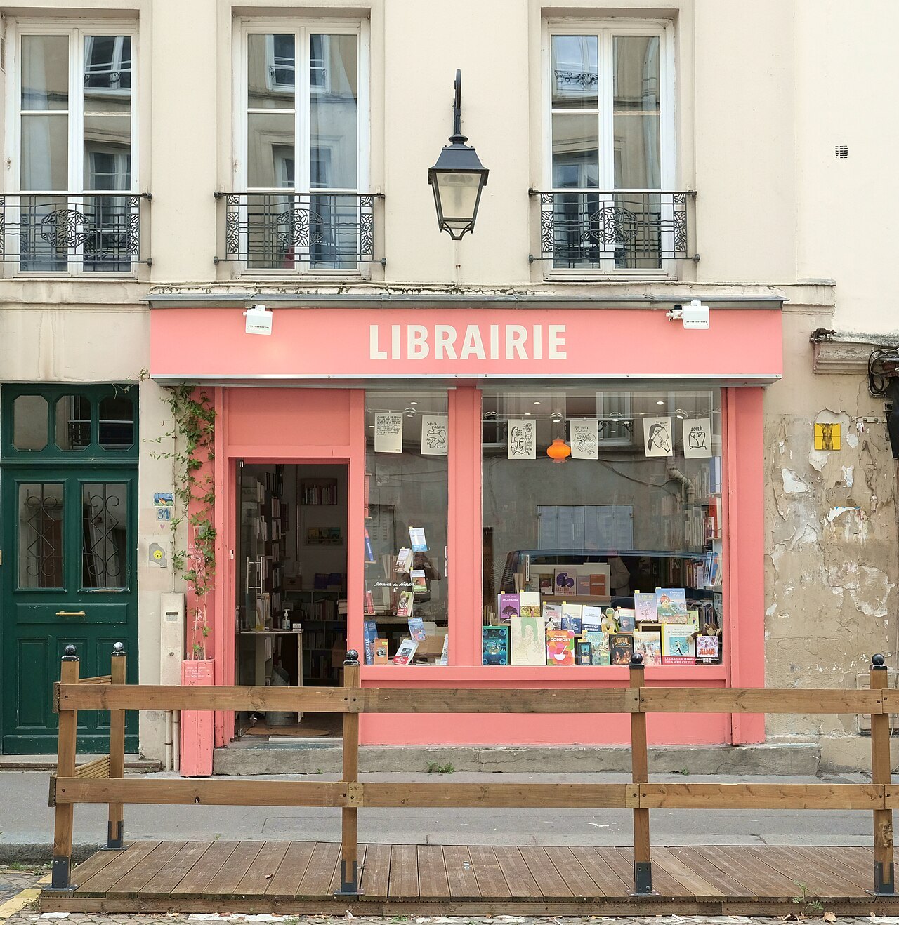
Below the arrondissements are the quarters: each arrondissement is divided into four, making eighty in all, and each has its own police station. Most visitors never need them, but their names, such as Saint-Germain-des-Prés, one of the four quarters of the 6th, are often the names Parisians use for the parts of their city.
Why the spiral helps a visitor
Because the spiral starts in the old center and grows outward, the number of an arrondissement is a rough guide to how far it lies from the heart of the city. The 1st to the 7th hold most of the great sights and lie within walking distance of the river; the 8th to the 11th are central, busy and well connected; the 12th to the 20th, the ring of old villages annexed in 1860, are more residential, and some, like Montmartre and Belleville, still keep a village air on their hills.
That makes the arrondissement the quickest way to judge a hotel's address, a restaurant recommendation or a walking route. Every sight on this site carries its arrondissement for this reason; see the sights, and the spiral for a portrait of each part of the city.
And the 13th?
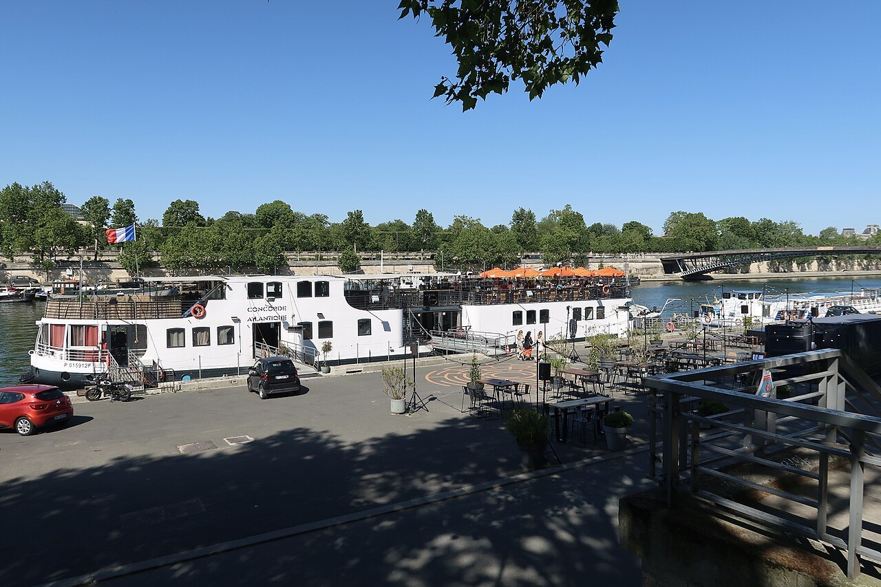
The 13th arrondissement turned out well. It lies on the Left Bank in the southeast of the city, and it is home to the national library's great modern site, the new district of Paris Rive Gauche beside the river, and the city's main Asian quarter, with many Chinese and Vietnamese restaurants and shops. The old joke about marrying at its town hall has outlived the reason for it. See where to stay for the quarters most visitors choose.
Read next
More from the journal
- Getting AroundHow does the Paris Métro work for visitors?Sixteen lines, 321 stations and one simple rule: follow the line's number and the name of the station at the end of it. How to read the signs, change lines, pay, and where the Métro is hard going with luggage or a wheelchair.Read the piece →
- Getting HereHow do you get from Charles de Gaulle Airport to central Paris?Most visitors take the RER B, which runs from the airport's two stations to the Gare du Nord, Châtelet and the Left Bank. How the terminals connect, which train to board, how to handle luggage on a commuter line, and when a taxi makes more sense.Read the piece →
- The Musée d'OrsayHow did a railway station become the Musée d'Orsay?How a Belle Époque railway terminus on the Seine became the world's great home of Impressionist painting.Read the piece →