Home · Sights · The Canal Saint-Martin
What you are looking at
The Canal Saint-Martin
10th · 11th
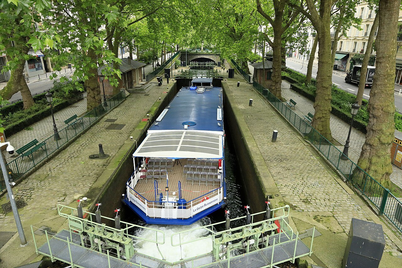
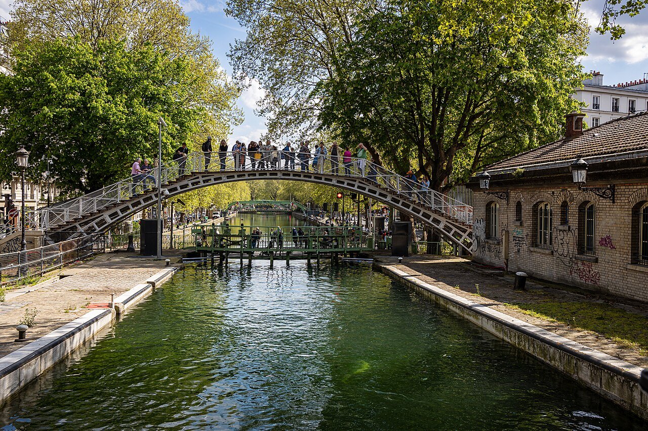
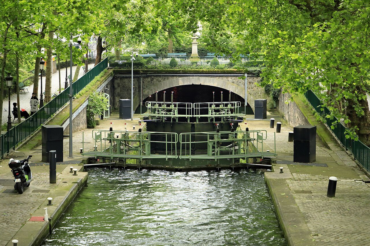
- 1The locksNine locks and a fall of about 80 feet, worked for every boat that passes.
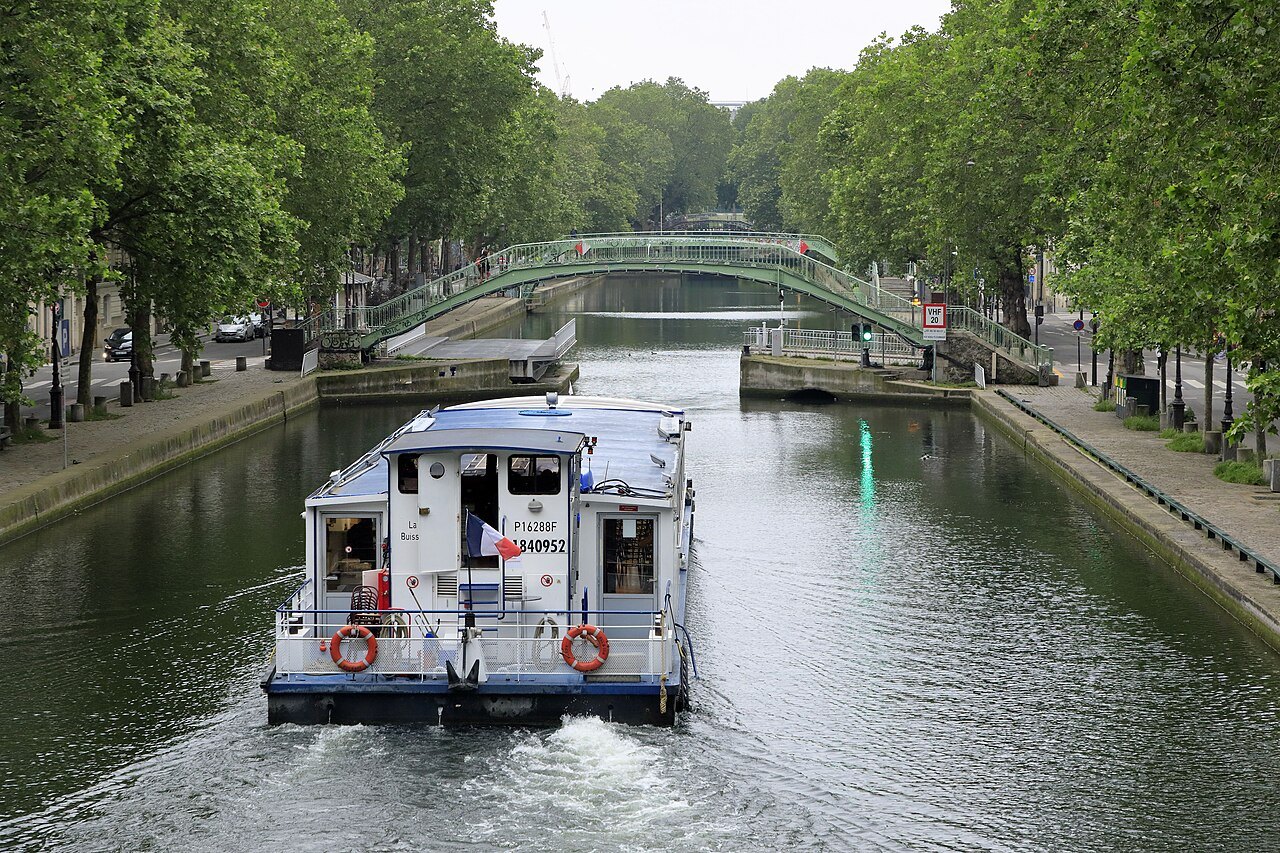
- 2The footbridgesArched iron footbridges over the open stretch, with two swing bridges for the roads.
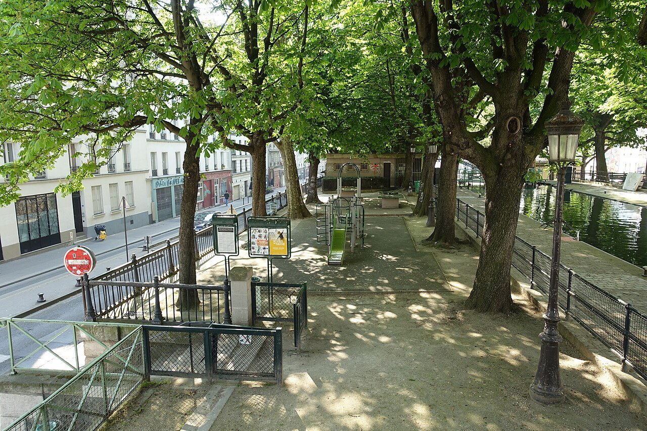
- 3The quaysThe Quai de Valmy and the Quai de Jemmapes, shaded by trees along the water.
- 4The Hôtel du NordThe canal-side building that gave its name to a novel and to Marcel Carné's film of 1938.
- 5The vaultsThe canal's hidden half, running in tunnels under the boulevards to the Bastille.
The sight in full
Reading the place
Why it matters
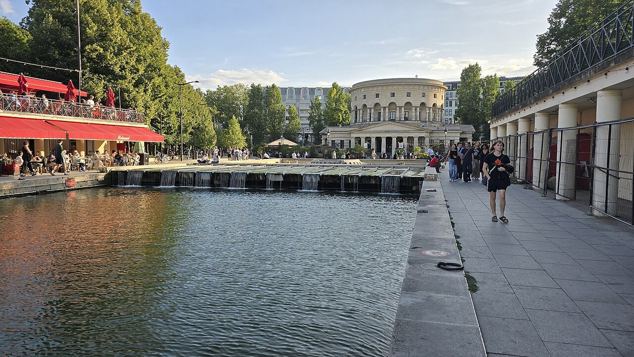
The Canal Saint-Martin runs for about two and three-quarter miles through the 10th and 11th arrondissements, from the Bassin de la Villette, the broad basin at the Place de Stalingrad, to the Port de l'Arsenal beside the Bastille, where it meets the Seine. Nearly half of it is underground, covered in the nineteenth century to make boulevards. The rest, the stretch in the open air, is one of the most pleasant walks in Paris.
It is a place to see the city as Parisians live in it rather than as visitors see it: water, plane trees, iron footbridges, boats rising and falling in the locks, people picnicking on the quays on warm evenings. There is no single monument here, and no ticket. What you come for is the canal itself and the neighborhood around it.
A canal for drinking water
Old Paris was short of clean water. The Seine and its small tributary, the Bièvre, were polluted, and epidemics of dysentery and cholera were feared. In 1802 Napoleon, then First Consul, decided to remedy this, and the prefect Gaspard de Chabrol revived an old plan to bring water from the river Ourcq, about sixty miles northeast of Paris. The same law created the Canal de l'Ourcq and the Canal Saint-Martin, along with a third canal to the north of the city.
Work was delayed by the wars, and a private company won the contract for the Saint-Martin in 1821. The first stone was laid in May 1822, and King Charles X opened the canal on 4 November 1825. Its water fed the city's fountains and helped to wash its streets.
A working port
The canal was also built for boats, and from the nineteenth century to the middle of the twentieth it was busy: barges brought grain, building materials and all kinds of goods into the heart of Paris, unloading at the Bassin de la Villette and at the Port de l'Arsenal. In 1882 the Bassin de la Villette was the fourth busiest port in France. Until the 1920s the barges were hauled along the towpath by men, which was cheaper than using horses.
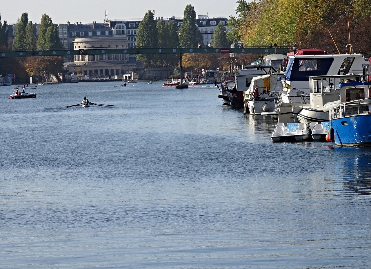
In 1860 Baron Haussmann decided to cover part of the canal. It cut across the roads between the center of Paris and the new districts to the northeast, and covering it also made it easier to move troops and cavalry through working-class quarters that the government mistrusted. The water level was lowered by about eighteen feet so that boats could still pass beneath, and the Boulevard Richard-Lenoir was built on top. The covered stretch was extended in 1907 to make the Boulevard Jules-Ferry.
Saved from a highway
Road and rail took the traffic away, and by the 1960s the canal's warehouses and workshops were closing. The city council then considered draining it and building a four-lane urban highway along its route, to link the motorways of the north and the south. The plan was abandoned in 1971, and the canal has been a listed historic monument since 1993.
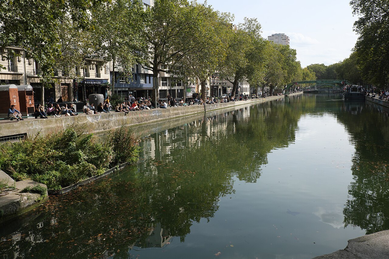
Every ten to fifteen years it is drained for cleaning and for work on the locks, and Parisians turn out to see what has been thrown in over the years; the cleaning of 2001 and 2002 brought up about forty tons of rubbish. During the draining of 2016 the fish were caught and moved before the water was let out.
What you see
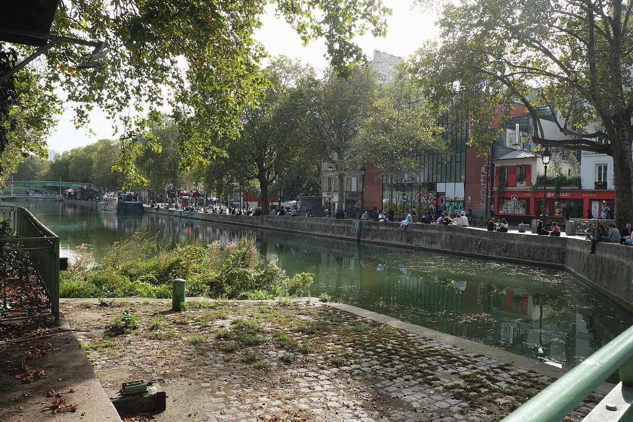
The open stretch begins at the double lock of La Villette by the Place de Stalingrad and runs south between two quays, the Quai de Valmy on one side and the Quai de Jemmapes on the other, with lines of trees along the water. Nine locks in all lower the canal about 80 feet between the basin and the Seine, and it is worth stopping to watch a boat go through: the gates close, the water drains, and the boat sinks slowly between the stone walls.
The canal is crossed by arched iron footbridges, painted green, and by two swing bridges that turn aside to let boats pass, the Pont de la Grange-aux-Belles and the Pont de la Rue Dieu. On the Quai de Jemmapes stands the Hôtel du Nord, made famous by Eugène Dabit's novel and by Marcel Carné's film of 1938, although the film itself was shot on a set built in a studio.
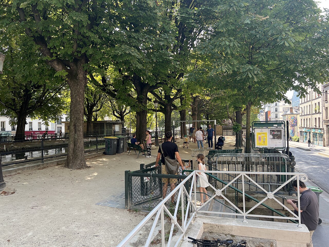
The canal has appeared in many other films, most memorably Amélie, whose heroine skips stones across it by the locks. Below the Rue du Faubourg du Temple, the canal disappears under the Boulevard Jules-Ferry and the Boulevard Richard-Lenoir, where round openings in the vault let light and air into the tunnel. It reappears only at the Bastille, in the Port de l'Arsenal, the marina of Paris.
How to visit
Walk it. The best stretch is from the Place de Stalingrad south along the Quai de Valmy to the Rue du Faubourg du Temple, crossing back and forth on the footbridges. On Sundays and holidays the city shuts the quays to cars, and walkers and cyclists take over. The cafés, bakeries and small shops of the surrounding streets are part of the pleasure; see neighborhoods.
Canal cruises go through the locks and the tunnel between the Bastille and La Villette, a slow and unusual way to see the city; see the Seine for boats on the river. The Père Lachaise cemetery is a short Métro ride east, and the Place des Vosges a walk from the Bastille end.
Myths worth setting aside
The canal was not built for pleasure boats or for its looks. It was built to bring drinking water and goods into Paris, and it was a working, industrial canal for most of its life.
Nor does the canal end at the tunnel. It runs on, hidden under the boulevards, all the way to the Seine.
Where to go next
Nearby
- Nearby · 20thPère Lachaise CemeteryThe largest cemetery in Paris, 110 acres of cobbled lanes, chapels and trees on a hillside in the 20th arrondissement, opened in 1804 and now the resting place of Chopin, Oscar Wilde, Jim Morrison and about a million others.Read the page →
- Nearby · 3rd · 4thThe Place des Vosges and the MaraisThe oldest planned square in Paris, built by Henry IV from 1605 to 1612 as the Place Royale, at the heart of the Marais, a quarter of seventeenth-century mansions, narrow streets and museums.Read the page →
- Nearby · 18thSacré-Cœur and MontmartreA white basilica begun in 1875 on the top of Montmartre, finished in 1914 and consecrated in 1919, looking south over the whole of Paris, with the old hill village and its painters' square behind it.Read the page →