MEASURING FRANCE FROM NOTRE-DAME
What is the point zero in front of Notre-Dame?
The bronze marker set into the parvis of Notre-Dame, and why French road distances are traditionally measured from this spot.
The answer in full
Read on
A Mark in the Pavement
On the parvis directly in front of Notre-Dame's west front, a small bronze marker is set into the paving stones, an octagon easy to pass without noticing at a visitor's feet. It carries the words Point Zéro des Routes de France, and it marks the conventional spot from which road distances to and from every part of the country are measured. Most visitors cross it on the way to the portals without looking down; it rewards those who do, since it ties this ordinary stretch of pavement to the whole of the country beyond the city.
The idea behind it is straightforward: a country measuring distance by road needs one fixed point to count from, and for France that point has long been set here, outside the cathedral at the heart of the old city. Any signpost elsewhere in France giving a distance to Paris is, in effect, counting from this spot on the Île de la Cité rather than from a town hall, a station, or any other landmark.
The marker sits close enough to the main doors that most visitors reach it without planning to, simply by crossing the square from the direction of the river. It is worth a slow look rather than a quick photograph, since it shares the paving with other markings that tell a longer story of the square, described in the sections below.
Why Notre-Dame Marks the Center
The choice of this spot is tied to the island itself. Notre-Dame stands at the eastern end of the Île de la Cité, the island in the Seine where a trade route crossed the river long before Paris existed as a city. A cathedral raised at that ancient crossing point, at the center of the settlement that grew up around it, made a natural reference for measuring distance across the kingdom that followed.
The cathedral itself took the better part of a century to build. Bishop Maurice de Sully began it in 1163, with King Louis VII and Pope Alexander III present at the laying of the cornerstone, and construction continued until the towers were finished by the middle of the thirteenth century. For the fuller story of that building campaign, the 2019 fire, and the reopening in December 2024, see the main Notre-Dame page.
Visitors who go on to travel beyond Paris, whether by train or by road, are in a small way still measuring that journey from this square, since French road distances are conventionally reckoned from here rather than from any station, terminal, or town hall elsewhere in the city, a tradition that long predates modern transport.
The Square Itself
The open square in front of the cathedral, the parvis, only reached its present size in the 1860s, during Baron Haussmann's rebuilding of Paris. Before then the approach to Notre-Dame was far narrower, hemmed in by houses and a web of small streets that had grown up against the cathedral walls over centuries, leaving little room for the crowds a great church draws.
Those vanished streets have not entirely disappeared. Pale paving stones set into the modern square trace the outlines of the medieval buildings that once stood here, among them a church demolished in 1747. Point zero sits within this same stretch of paving, one more marker laid into the ground for anyone willing to look down before looking up at the west front.
Reading this layer of history takes only a few minutes and costs nothing but a slower pace across the square. It is a good first stop before the portals, since it sets the cathedral in the middle of a much older and much smaller city, most of which has since vanished entirely.
Under the Square
Beneath the parvis, an archaeological crypt holds Roman and medieval foundations uncovered during excavation, remains of a city that stood here centuries before the present square was laid out. It has been run by the Musée Carnavalet since 2000, and gives a sense of how much history lies under this patch of ground, point zero included.
Entrance to the crypt is separate from the cathedral and from the towers, with its own arrangements for tickets and visiting hours set independently of the cathedral's schedule. Check these directly with the crypt's own listing or with the Musée Carnavalet before planning to combine a visit there with time at Notre-Dame itself.
For visitors building a longer morning around the Île de la Cité, the crypt pairs naturally with a stop at the Sainte-Chapelle nearby and a walk along the riverbanks, both within easy reach on foot from the parvis without needing to use the Métro at all.
The Island Around It
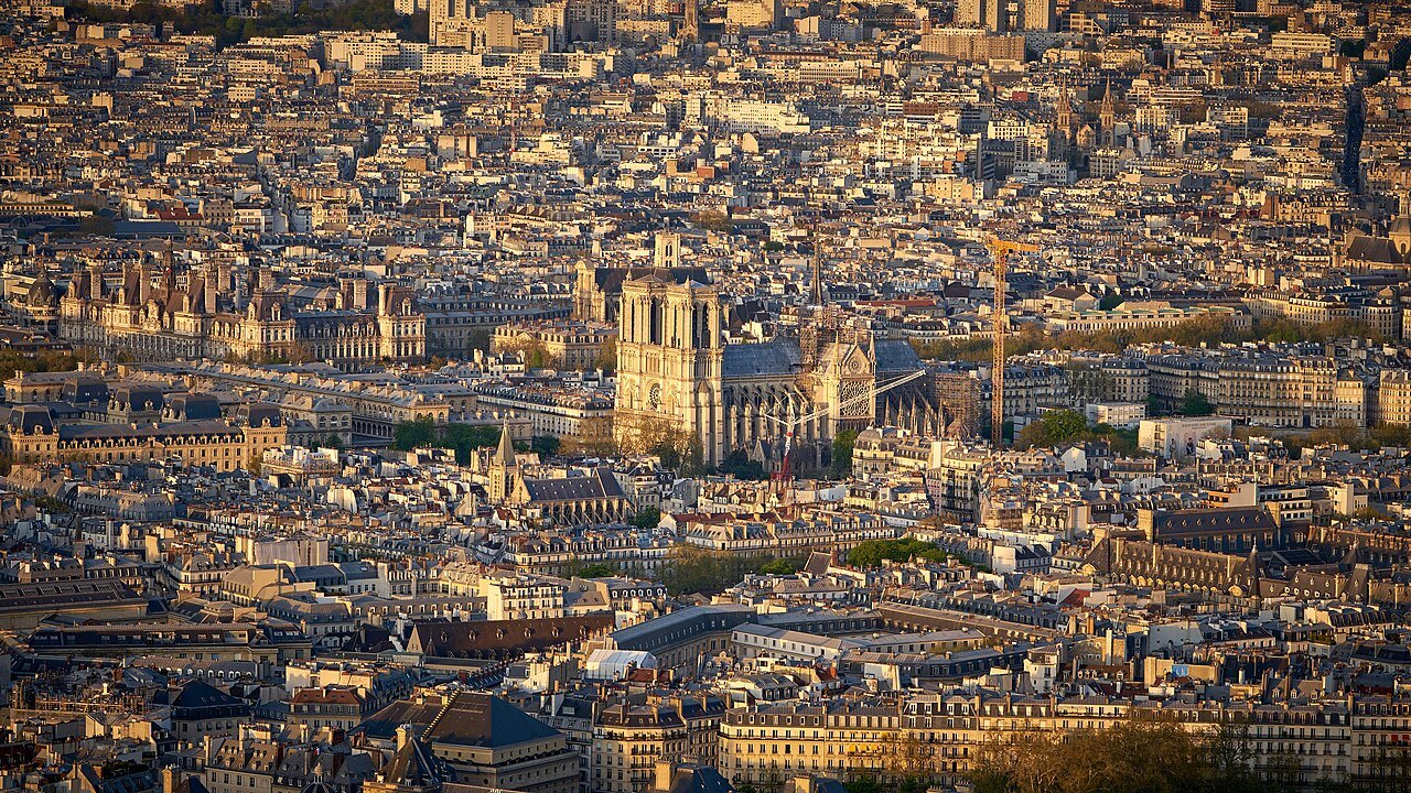
The island around Notre-Dame is small enough to cross on foot in a few minutes. West of the parvis, inside the courthouse, stands the Sainte-Chapelle, known for its own stained glass; see Sainte-Chapelle for details of a visit there. A footbridge behind the cathedral's east end leads across to the quieter Île Saint-Louis.
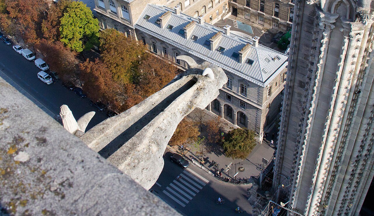
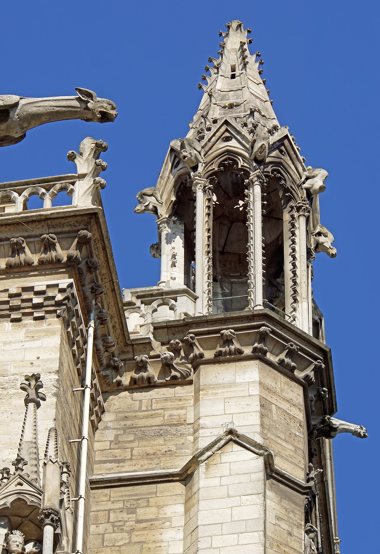
Both islands sit in the Seine, and a walk along the riverbanks on either side gives one of the clearest views of the cathedral's flying buttresses and the roofline above them, including the gargoyles added around 1240 to carry rainwater clear of the stone walls below.
Together, point zero, the Sainte-Chapelle, and the two river islands make a compact morning or afternoon on foot, with little need for the Métro between stops, since everything described here sits within a few minutes' walk of the cathedral's west front and the square in front of it.
How to Visit
Allow at least an hour for Notre-Dame as a whole: time on the square to find point zero and read the portals of the west front, time inside for the great transept roses, and a slow walk around the outside to see the flying buttresses and the roofline above them.
The towers are climbed separately, by a stairway of 387 steps with a stop at the level of the rose window in a Gothic hall, and are not suited to anyone who dislikes narrow stairs. For what else in Paris is worth reserving ahead of a visit, see booking ahead.
Notre-Dame remains a working church, and services continue while visitors are inside, so parts of the building are set aside at times for mass. The square tends to be busiest in the middle of the day, worth bearing in mind when deciding when to arrive at point zero and the portals beyond it.
Read next
More from the journal
- Notre-Dame de ParisWhat happened to Notre-Dame in the fire of 2019?On 15 April 2019 fire destroyed the spire and the medieval oak roof of Notre-Dame; the stone vaults, the towers, the façade and the great windows survived. How the fire spread, how firefighters saved the north tower, how the roof was rebuilt in oak, and what visitors notice since the reopening in December 2024.Read the piece →
- Notre-Dame de ParisWho carved the gargoyles and chimeras of Notre-Dame?Why the horned creatures on Notre-Dame's towers are not medieval, and what a true gargoyle actually does.Read the piece →
- The SeineWho are the booksellers along the Seine?The bouquinistes, some two hundred booksellers who keep about nine hundred green boxes on the stone parapets of the Seine. Where they are, how the trade began on the Pont Neuf, why the boxes are the color they are, and how to browse them.Read the piece →